Zoning & Floodplain Administrator
Kristen Leahy
802-472-1686
zoning.administrator@hardwickvt.gov
Summer 2026 Office Hours
| Monday – 11 am to 1 pm Tuesday – 8:30 am to 2 pm Wednesday – 9:30 am to 2 pm Thursday – 8:30 am to 2 pm Friday – By Appointment Saturday – By Appointment | |
| Outside of daily stated hours, by appointment. |
FLOOD RELATED ZONING REGULATIONS
Understanding Floodplains, Floodways, and River Corridors (2025)
HISTORIC STRUCTURES IN THE FLOODPLAIN
Guidelines on Flood Adaptation for Rehabilitating Historic Buildings – 2021
Guidelines for Reducing Flood Risk to Residential Buildings that cannot be elevated – 2015
AFTER A FLOOD
Prioritize Your Health and Safety – 2024 (Neighbor to Neighbor)
Mental Health Resources for Flood Recovery – 2024 (The Vermont Department of Mental Health)
Guide for Cleaning up Mold After a Flood – 2015 (FEMA)
Four Ways to Reduce Flood Insurance Costs (FEMA)
Flood Resistant Materials for Rebuilding After a Flood – 2024 (State of Vermont)
Repairing Your Flooded Home – 2010 (FEMA)
Protecting Building Utility Systems from Flood Damage – 2017 (FEMA)
Flood Damage Resistant Materials – 2008 (FEMA)
Post Flooding Technical Assistance Toolkit for Agriculture – 2024 (State of Vermont)
FLOOD RELATED PLANNING DOCUMENTS
Understanding Flood Storage and Floodplain Restoration (2025)
Recommended Actions to Improve the Safety of Vermonters During Major Flooding Events – UVM – 2024
Lamoille River Tactical Basin Plan – 2021
Lamoille River Tactical Basin Plan – Story map – please note that this link takes you away from our website to a story map – Lamoille River Tactical Basin Plan Overview
Basin 7 Lamoille Assessment Report -2016
A Strategy to Protect Communities and Ensure Clean Water by Mike Kline – 2016
Notes from the Draft Tactical Basin Plan – 2016
Upper Lamoille River Geomorphic Assessment – 2009
River Recovery in the Wake of Large Floods – 2024 (Jordan Fields at Trout Unlimited) (YouTube Video)
LAMOILLE RIVER and COOPER BROOK HYDRAULIC STUDY – SLR
Funding provided by the Economic Development Administration (through Lamoille County Planning Commission) – EDA grant.
Presentation Slides from SLR – December 3, 2025 at Hardwick
Overview of next steps from the study – 12/18/25 – created for the Select Board
HCTV video of the presentation – recording was inadvertently damaged. No video will follow
BRIDGE 31 – EAST HARDWICK/GREENSBORO BEND
Bridge 31 Community Survey Overview – Created for the Hardwick Select Board – 3-9-26
Bridge 31 – photographs from the impacts prior to demolition in April 2024
Engineering Reviews – To be added – Verdantas
JACKSON DAM
Jackson Dam Memo from SLR – 3-13-26
Power Point Slides from SLR for 3-26-26 meeting
Act 250 Documents for the Ice Breakers
Associated Documents for the 2-27-26 Memo
Hardwick Lake Dam 2019 Visual Inspection
Hardwick Lake Today and Tomorrow by the Northern Rivers Land Trust – 2013
Report on the Jackson Bridge Dam by the Vermont Natural Resources Council – 2001
Hardwick Lake Dam 2024 Visual Inspection
From the Watershed: Five Collected Articles based on the SLR Jackson Dam Memo
ADDITIONAL DAMS IN THE LAMOILLE WATERSHED NEAR HARDWICK
EAP for East Long Pond, Nichols Pond and Mackville Pond – 2012
EAP for Mackville Pond Dam – 2016
Mackville Dam 2022 Visual Inspection
East Long Pond Dam 2022 Visual Inspection
Nichols Dam 2023 Visual Inspection
Ripple Effects – Watershed Forum in September and October 2025
September 3, 2025 – Dredging Rivers with Roy Schiff from SLR International Corporation and Shayne Jaquith from the Nature Conservancy. HCTV video link
Understanding Flood Storage and Floodplain Restoration
Understanding Floodplains, Floodways, and River Corridors
Dredging Makes Floods More Dangerous
September 10, 2025 – Beavers and Natural Infrastructure with Tyler Brown from Vermont Fish and Wildlife, Meg Carter from the NorthWoods Stewardship Center and Erin Rodgers from Trout Unlimited. HCTV video link
Beavers and Natural Infrastructure Slides
BMP – Beaver Conflicts Factsheet
BMP – Beaver and Human Conflicts Factsheet
September 24, 2025 – Dam Removal & Rivers with Karina Dailey from Vermont Natural Resources Council and Kassia Randzio from Vermont River Conservancy. HCTV video link
Dam Removal and Rivers Presentation Slides
The Four Dimensions of River Connectivity
October 1, 2025 – Droughts and Floods – Climatology with Lesley-Anne Dupigny-Giroux, Ph.D.
Distinguished Professor & VT State Climatologist. HCTV video link to follow.
Here is the link to CMOR:
https://droughtimpacts.unl.edu/tools/conditionmonitoringobservations.aspx
To join the CoCoRaHS precipitation observing program, please have folks send a note to Seth Kutikoff at the National Weather Service Burlington
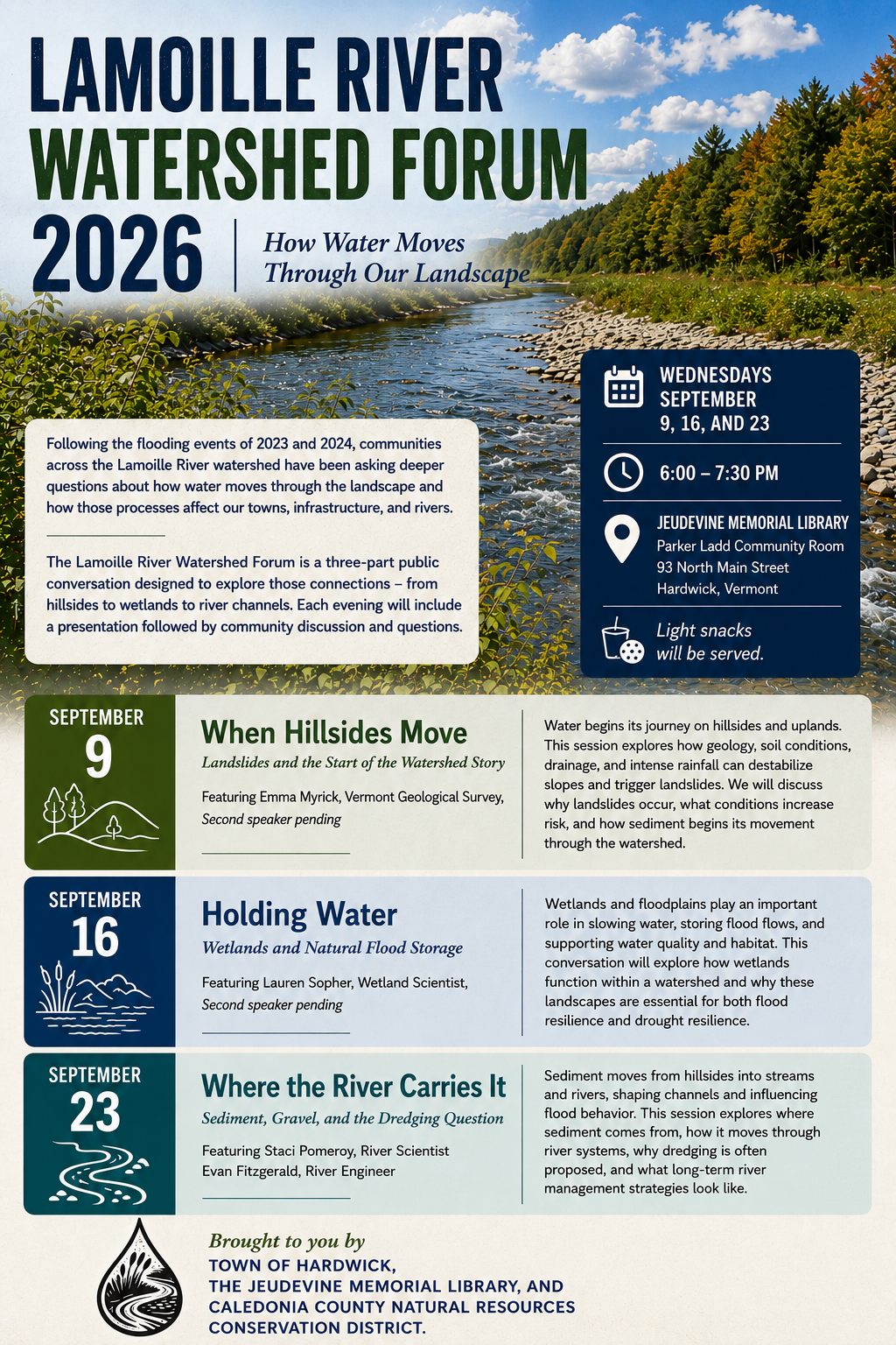
Watershed Forum – September 2026
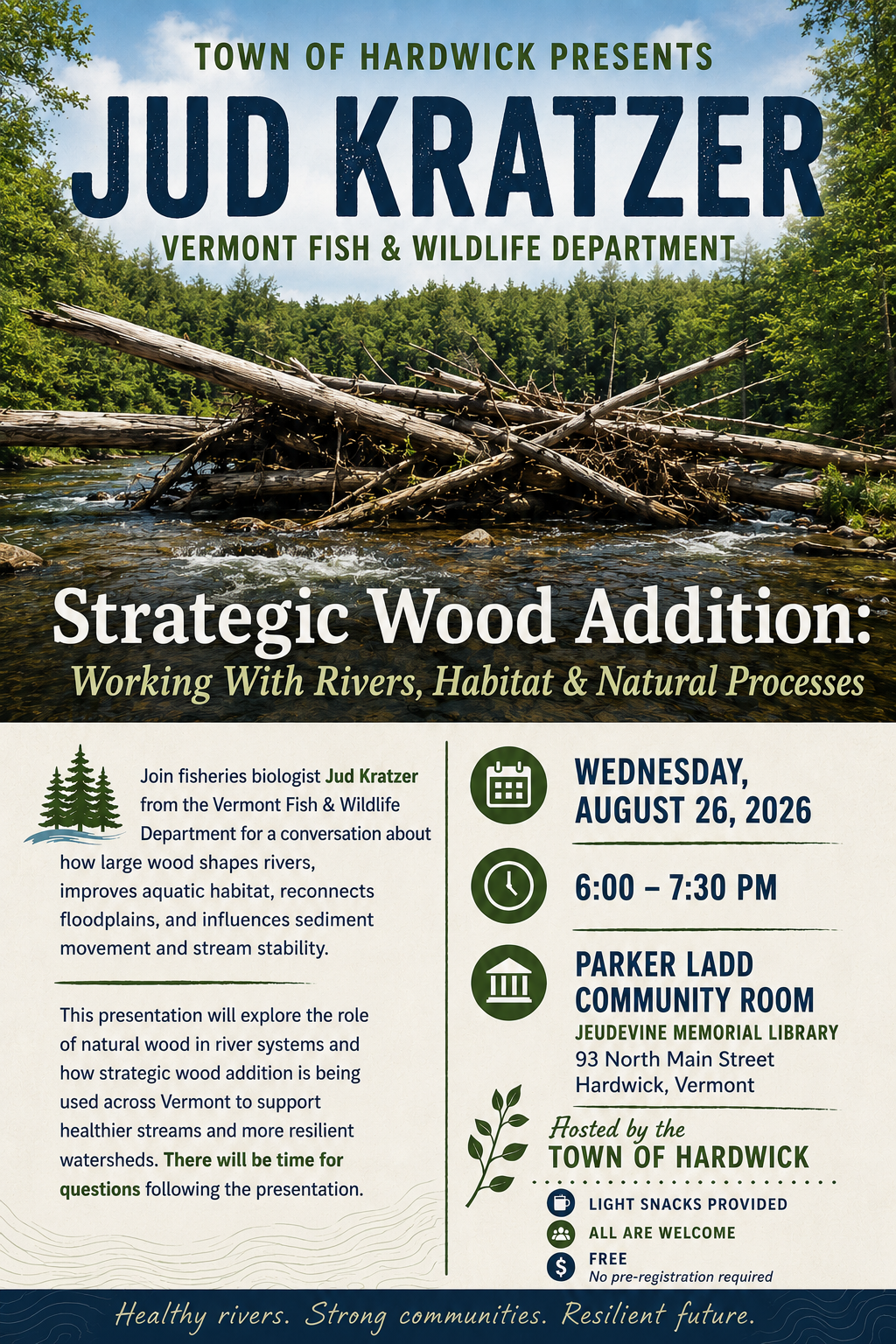
Strategic Wood Addition – August 2026
FLOOD RESILIENCE PROJECTS
Town of Hardwick – Flood Recovery and Resilience Update
Understanding Our Five Neighborhood Approach
As Hardwick continues to recover from the July and December 2023 and July 2024 flood events, the Resilience & Adaptation Office has adopted a five-neighborhood approach to guide response, recovery, and future resilience investments. This method recognizes that different areas of town face different risks and levels of engagement and allows us to better match our time, capacity, and available funding to each area’s unique needs.
The five neighborhoods currently include:
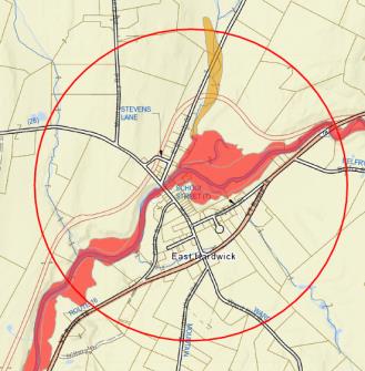
- East Hardwick Village Center
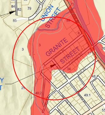
- Granite Street Historic District and Cooper Brook Area
- Vermont Route 14 South Corridor
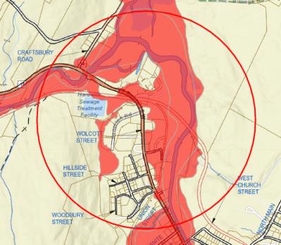
- Wolcott Street and Commercial District
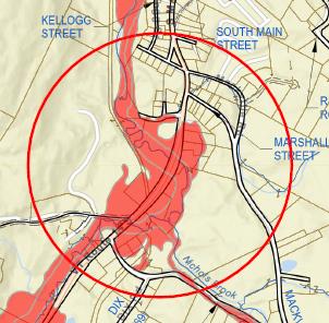
- North Main, Mill Street, and Core Downtown
This structure helps ensure that less vocal or more dispersed areas are not overlooked and resources are distributed in a way that reflects both the severity of flood impacts and the realities of community communication and capacity. This approach also allows the Town to align engineering, land use decisions, emergency response, and community engagement within the same geographic frame, improving coordination while respecting limited municipal capacity.
TOWN-WIDE INITIATIVES (updated 6/19/26)
*EDA grant for Flood Models of the Lamoille River and the Cooper Brook. SLR International Incorporated recently concluded the modeling work and is finishing the analysis. Two presentations on the Lamoille River were held on December 3, 2025. A presentation on the Cooper Brook was held on June 10, 2026
*The Hardwick Plan – 2026 has been adopted and includes a Volunteer Amendment with four local categories: Emergency Volunteer Mobilization, Emergency Communications, Emergency Shelter, and the Supply and Support Center. This local management plan provides guidance to each component of the community, including businesses, farms, and residences.
*Hardwick Neighbor to Neighbor Supply and Support Center is a sustainable and ready-to-go element of emergency response.
*The Town Flood Resilience Website pages at Hardwickvt.gov have been updated and have more information for the public.
*The Hardwick Unified Development Bylaws were updated in September 2024 and the Flood Hazard Area Overlay rules now match the requirements from the State of Vermont and FEMA and will be ready for the anticipated update to the Floodplain maps.
*The Hardwick Unified Development Bylaws were updated in 2026 with the addition of a River Corridor Overlay to further improve hazard mitigation funding matches and advance conversation around erosion-impacted properties.
*Six bridges have engineering under way for permanent replacements/upgrades.
*Eleven damaged roads will have updated culverts by the end of 2026. Additional mitigation projects are ongoing on all roads in town.
*The expanded Emergency Alert notification system (TextMyGov) and VT Alert system have been implemented.
*High-water Mark Documentation Project documenting July 2023, December 2023, and July 2024 flood elevations across multiple neighborhoods to support public education, engineering calibration, and future mitigation design.
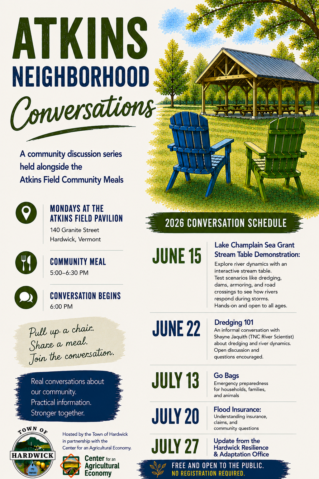
*Atkins Neighborhood Conversation Series (Summer 2026) focuses on floodplain processes, insurance, mitigation options, and household-scale resilience strategies.
*Emergency Volunteer Training Series (Winter-Spring 2026) aligned with the Volunteer Amendment to the Hardwick Plan, including communications, supply center operations, and neighborhood-based response roles.
*Neighborhood-Based Resilience Coordination piloted through Granite Street Neighbors and extended to other impacted areas to strengthen communication, preparedness, and recovery capacity.
*Historic Flood Documentation and Archival Coordination has occurred in partnership with the Hardwick Historical Society to support public understanding of long-term flood patterns and risk.
*Coordinated sequencing of buyouts, infrastructure upgrades, and floodplain restoration has been designed to avoid isolated investments and maximize cumulative risk reduction.
*Lamoille River Watershed Forum in September will feature presentations on Landslides, Wetlands, and Sediment. An additional presentation is scheduled for August 26 with Jud Kratzer – Strategic Wood Addition.
*Former Buyout Property Planning and Stewardship Framework acknowledged by the Select Board as the Town’s guiding approach for evaluating, maintaining, planning, and seeking funding for former buyout properties.
Neighborhood priorities are sequenced based on flood impact severity, readiness of property owners, availability of matching funds, and the Town’s capacity to advance projects responsibly and effectively.
FLOOD AREA SPECIFIC INITIATIVES
Downtown Hardwick (Lamoille River) *Hardwick Downtown Partnership
Flood Resiliency Projects in Process:
- Mill Street restoration project (Climate Safe Communities Grant written/BRIC)
- EWP 2024 – 2 slope stabilization projects in the engineering phase
- Scoping study for the Downtown section CBDG-DR funding received, Stone Environmental hired and work has begun in June 2026.
- 3 Buyouts – 1 finished and demolished. 1 closed in December 2025.
- Restoration of the Retaining wall next to the Village Diner (FEMA) – in process with the pedestrian bridge installation – June 2026
Vermont Route 14 South (Cooper Brook) *No formal neighborhood organization currently identified
Flood Resiliency Projects in Process:
- 2 buyouts – both finished and demolished
- Restoration project – funding identification in process with the Caledonia County NRCD. Community engagement to follow.
- 1 EWP 2024 – in the engineering phase
- 2 Lift stations for WWTF (FEMA) will be upgraded
Wolcott Street Commercial (Lamoille River) *Hardwick Business Community
Flood Resiliency Projects in Process:
- Wastewater Treatment Facility Plant upgrades or restoration (FEMA)
- Jackson Dam Feasibility Study concluded. Next steps include public engagement and 30% engineering. Identified as reducing flood risk in both Wolcott Street Commercial and Granite Street District.
- 6 buyouts (Sawmill Park – Future concept) – 3 purchased and demolished. Identified as reducing flood risk in both Wolcott Street Commercial and Granite Street District
- LVRT Embankment issue identified (EDA). Identified as reducing flood risk in both Wolcott Street Commercial and Granite Street District.
- Lamoille River Confluence Floodplain Restoration. CDBG-DR funds received for implementation and engineering. SLR International hired. Anticipated construction in 2027. Identified as reducing flood risk in both Wolcott Street Commercial and Granite Street District.
East Hardwick (Lamoille River) *East Hardwick Neighborhood Organization
Flood Resiliency Projects in Process:
- Better Connections Stormwater Overview
- 2 FRCF buyouts closed in April 2026. RFP for Demolition in process. National Park Service technical assistance requested for after demolition.
- 1 Historic property stabilized with EWP 2023 (completed)
- 1 FRCF buyout (completed) in 2024 on School Street
- School Street stabilization (FEMA) – Engineering in process
Granite Street Historic District (Cooper Brook and Lamoille River) *Granite Street Neighbors & The Center for an Agricultural Economy
Flood Resiliency Projects in Process:
- Municipal Planning Grant in process – flood mitigation and flood resiliency planning with SLR Consulting. First overview provided to the neighborhood on June 10.
- Additional projects to follow
- Fire Station removal from the Floodplain (FEMA)
- Future mitigation project at the Fire Station site
- Utility Elevation funds received – CRDMF
- High-Water Mark Project in final stages. Concepts being voted on.
- Atkins Neighborhood Conversations (Summer 2026)
- Cooper Brook Cleanup on May 1 – tires, tires, tires.
Lessons learned in each neighborhood are intentionally carried forward to inform work in other areas, allowing the Town to adapt its approach over time rather than repeating one-size-fits-all solutions.
Together, these town-wide and neighborhood-specific efforts reflect Hardwick’s commitment to pairing technical mitigation with community-based resilience, ensuring that recovery investments strengthen both physical systems and social capacity.
Hardwick Buyout Information
Former Buyout Property Planning and Stewardship Framework – June 2026
Hardwick Floodplain Acquisition List – May 2026
Buyout Myths versus Facts – December 2025
The Story of a Flood Buyout in Hardwick – November 2025
VT Digger article on the Civic Standard’s building and possible floodplain acquisition
Granite Street Historic District – Municipal Planning Grant and Flood Resiliency Planning
Granite Street Neighbors – Winter 2026 Update
Granite Street Historic District Utility Elevation Assistance Project – Overview
Granite Street Historic District Utility Elevation Assistance Project – Intake Form
Overview on the project from the State Climate Office: https://climatechange.vermont.gov/centering-community-flood-emergency-management
DRAFT – Flood Resilience Plan from SLR – June 2026
Flood Mitigation Projects in Hardwick
Hardwick Recovery and Resilience Portfolio – June 2026
Hardwick and the Five Neighborhoods of Flood Impact (2023 to 2026) – updated 6-1-26
Overview of Hardwick Resilience Approach – created for the State Climate Action team
Understanding Flood Storage and Floodplain Restoration (2025)
Hardwick Future Flood Resiliency and Mitigation Projects – March 2025
Hardwick Flood Resiliency Projects – 2023 and 2024 (Town Report Version) – January 2025
Hardwick Projects from 2023 and 2024 – October 30, 2024
Hardwick Projects from 2023 and 2024 – August 13, 2024
Hardwick Projects from 2023 and 2024 – August 1, 2024
Hardwick Projects from 2023 and 2024 – July 26, 2024
Community Meeting – 9-16-24 – Slides
Adaptation for All: How to Build Flood Resilience for Communities of Every Size (American Flood Coalition – pdf) – page 36 has the Dog River Park in Northfield, Vermont. Stay tuned for a local version!!
Flood Recovery and Resilience Updates – provided to the Select Board in 2025
Flood Recovery and Resilience Update (SB) – 4/17/25
Flood Recovery and Resilience Update (SB) – 6/26/25
Flood Recovery and Resilience Update (SB) – 8/7/25
Flood Recovery and Resilience Update (SB) – 10/31/25
Flood Recovery and Resilience Update (SB) – 12/18/25
Flood Recovery and Resilience Update (SB) – 5/04/26
HELPFUL LINKS
Neighbor to Neighbor – Hardwick Area Neighbor to Neighbor – Need anything? Want to help? Get in touch. Call or text 802-441-3301 or hardwickneighbors@gmail.com
New England 511 – State Road closures and construction information
Vermont.gov/flood – Vermont Flood Resources
The Hardwick Plan – 2025 (our Local Emergency Management Plan with a Flood Annex)