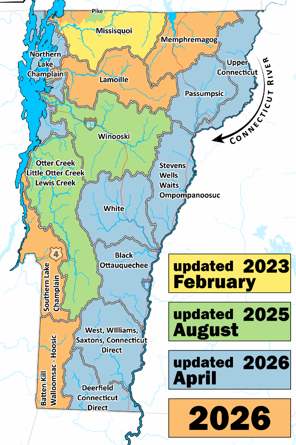
Lamoille Basin Wetland Map Updates Available for Review
*Comments Accepted Through July 2
The Vermont Department of Environmental Conservation (DEC) has released draft updates to Vermont’s wetland maps, including many communities in Caledonia, Lamoille, and Orleans Counties (and the entired Lamoille Basin).
The updated maps show the approximate location and shape of wetlands where previous mapping was incomplete or inaccurate. DEC is asking property owners, municipalities, and interested residents to review the maps and provide feedback before the maps are finalized.
Wetlands help improve water quality, provide wildlife habitat, and can help absorb and slow floodwaters. As Vermont communities continue to invest in flood resilience and watershed health, accurate wetland mapping is an important planning tool.
Residents are encouraged to review the maps and submit comments or corrections if they identify potential inaccuracies.
View the draft maps here:
Location-Specific Comments: Wetland Program
Comments on the draft maps will be accepted through July 2, 2026.